ResidentialMango Hill, QLD2026 programme
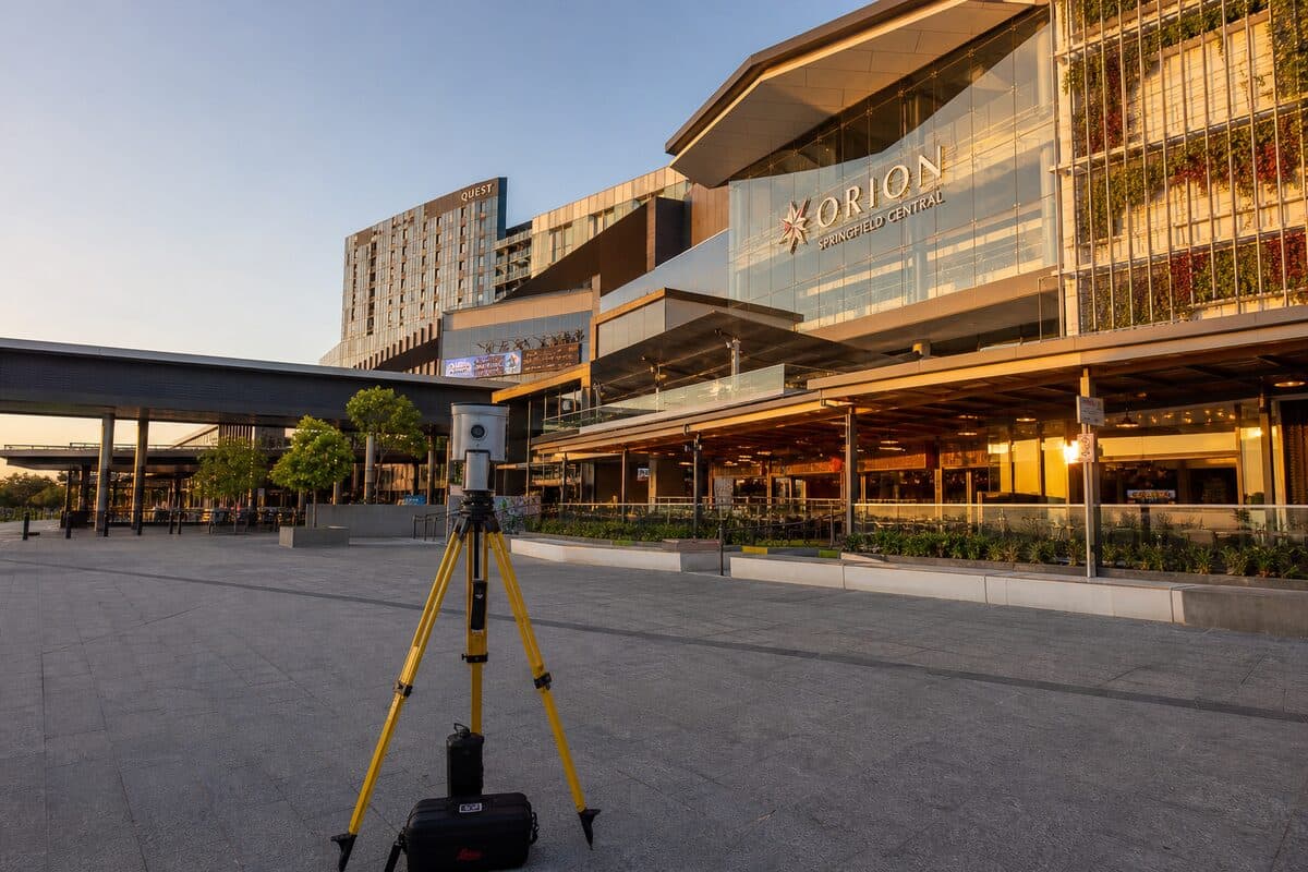
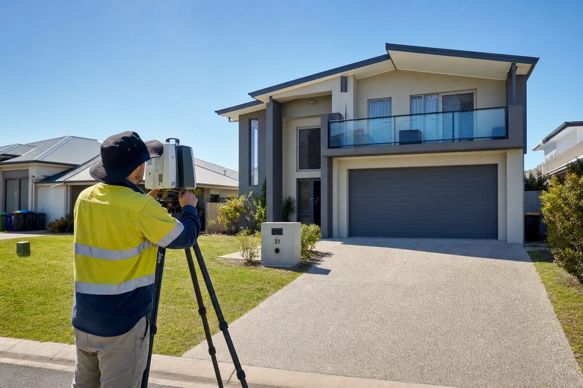
56 Mary Street, Mango Hill, external LiDAR
External LiDAR survey to capture the three-dimensional form of a proposed residential development site, with outputs tailored for Revit-based design work.
Challenge
The development team required a defensible external "shell" of the site and built form context ahead of detailed design, with data that would ingest cleanly into Autodesk Revit.
Solution
Oculus attended site for LiDAR capture across the external scope nominated by the client, completed registration and processing, and issued registered point cloud deliverables in .rcp (or the client’s preferred equivalent) for Revit.
Outcome
The project team received consistent reality-capture data for early design and stakeholder communication without rework between survey and modelling disciplines.
Sensors Deployed
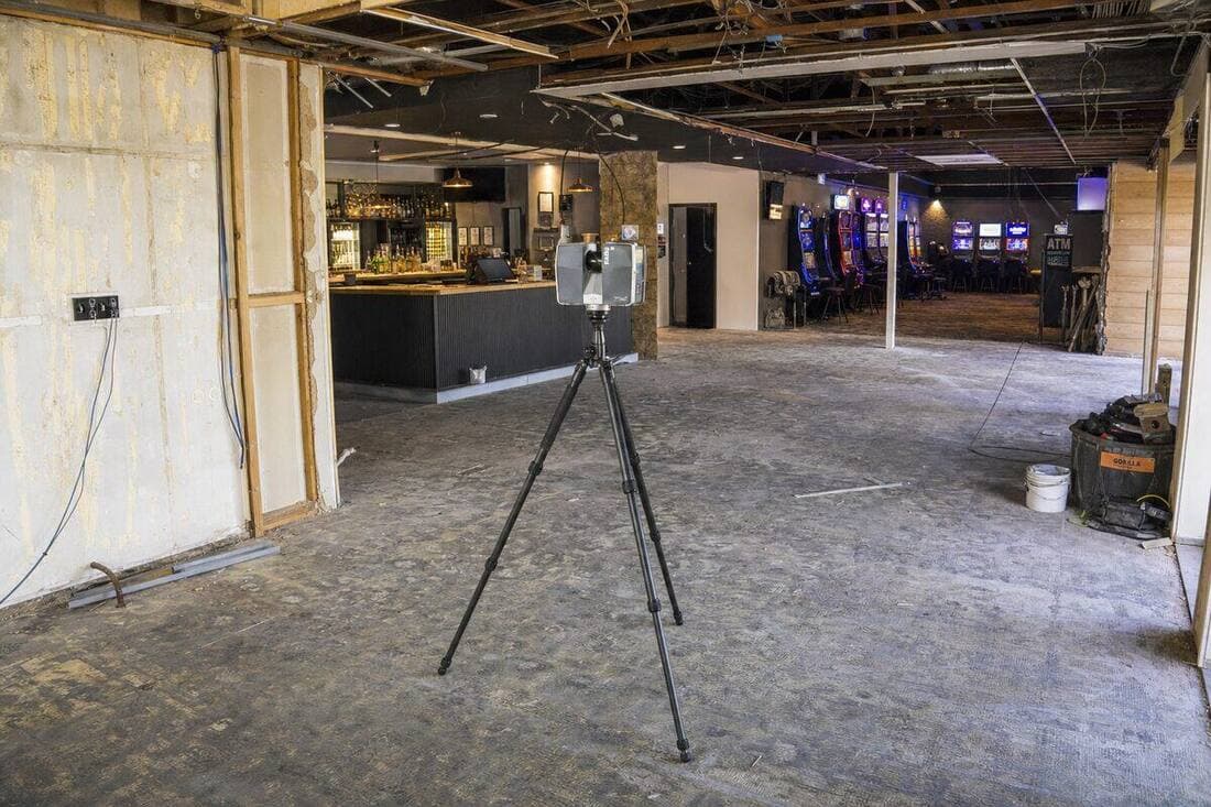
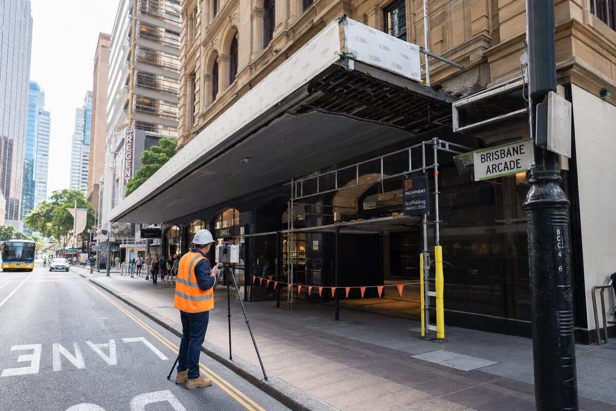
Terrestrial LiDARExternal envelope and site captureRevit-ready point cloud